
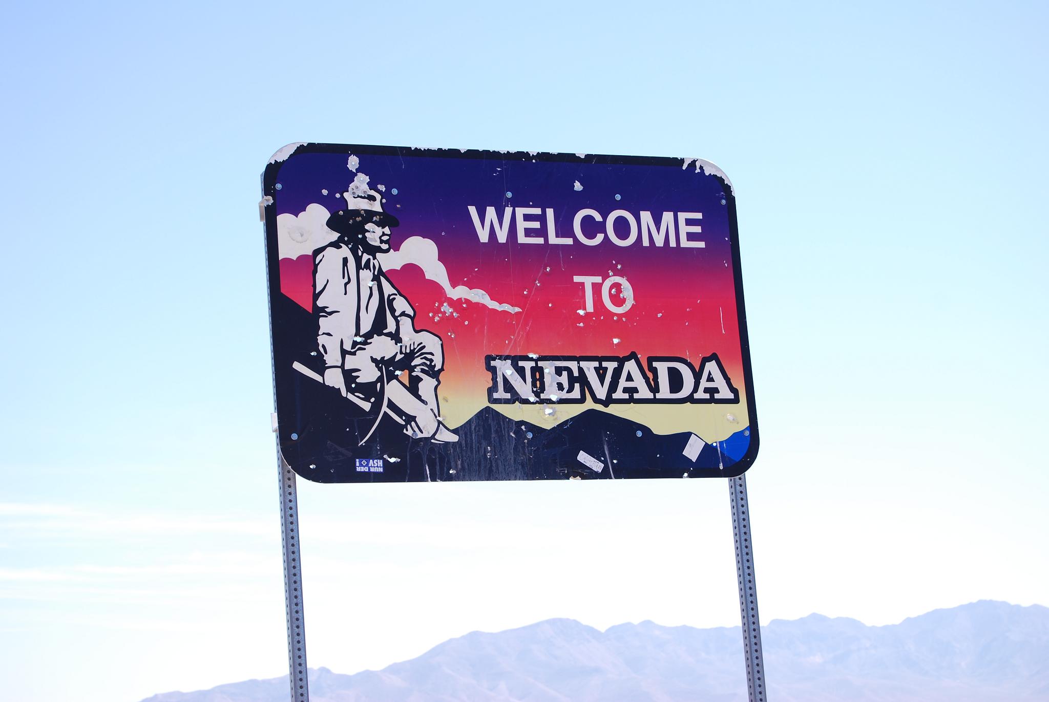

A Magazine Article That Changed Everything
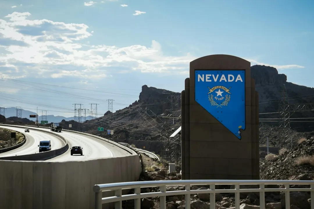
It was in July 1986 that Life magazine used the term “The Loneliest Road in America” to describe the stretch of U.S. Route 50 across central Nevada. The article claimed there were “no points of interest” along the route and warned readers not to risk traveling it unless they were confident of their survival skills. For anyone who actually knew the region, this was a rather startling misread of one of the West’s most storied corridors.
The moniker could easily have been a slap in the face, but savvy state officials adopted the phrase and turned it into something positive. The state created a survival passport that same year, which travelers could get stamped at locations along Highway 50 and redeem for a certificate. It was a clever pivot, and the spirit of that decision still defines the road’s identity today.
The Route Itself: Scale and Silence
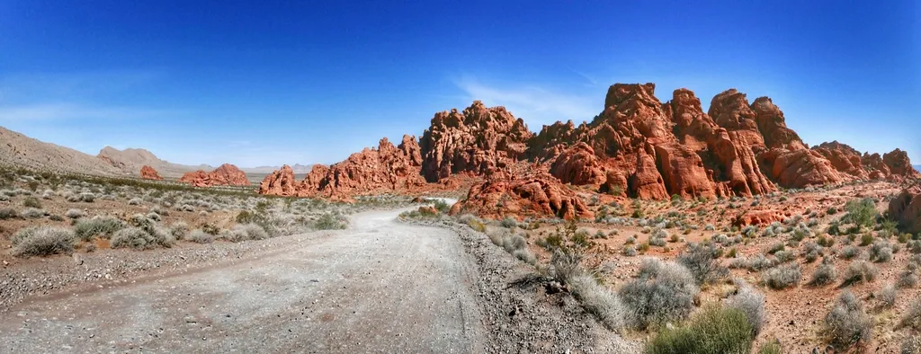
Nevada’s portion of the bicoastal road traverses the state for a distance of about 410 miles, starting in South Lake Tahoe and ending at the Utah border. The 287 miles from Fernley to Ely is the designated Loneliest Road, even though the section between Fernley and Fallon is actually Highway 50 alternate.
The geography sets the rhythm: the road runs dead straight across a flat sagebrush valley, climbs a pass over one of the long north-south mountain ranges, drops into the next near-identical valley, and repeats this for three hundred-odd miles. The road consequently rises up to 7,700 feet and falls to 4,000 feet in the valleys as you make your way across. That rhythm becomes almost meditative after the first few hours.
Deep Roots: The Pony Express and the Lincoln Highway
The route was constructed over a historic corridor, initially used for the Pony Express and Central Overland Route and later for the Lincoln Highway. The Native Americans followed migrating herds of deer, antelope, and other game across central Nevada long before written records. Early explorers crossing the region included John Fremont and Jedediah Smith. The Overland Stage later followed Smith’s route, then the Pony Express took this route, and finally the transcontinental telegraph came over this area.
Highway 50 was part of the original Lincoln Highway, the first intercontinental road in the United States. This is not a new road wearing an old nickname. It is genuinely old ground, layered with the movements of people who came before the asphalt, before the mile markers, before anyone thought to call it lonely.
The Towns Along the Way
US 50 crosses the central portion of Nevada, from the west side of the state near Lake Tahoe to the east side near Great Basin National Park. Heading eastbound, the road traverses Carson City, Dayton, Fallon, Austin, Eureka, Ely, and Baker. Each town has its own distinct personality, and none of them feel interchangeable.
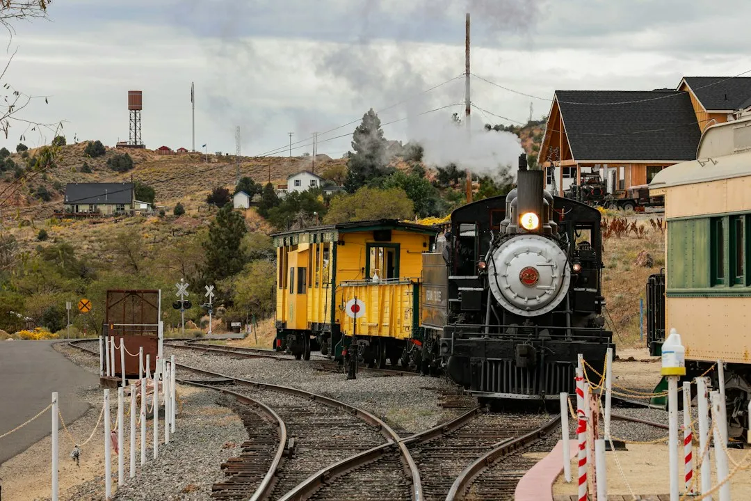
Eureka arrives as the best-preserved mining town on the road, its brick Main Street and restored 1880 opera house still intact. Then comes Ely, the copper-mining crossroads and the one real town out on the route, where the Nevada Northern Railway still runs its steam-powered Ghost Train. Ely’s mining boom came later than the other towns along US 50, with the discovery of copper in 1906. These communities are small but remarkably intact.
Austin: The Silver Ghost at the Midpoint
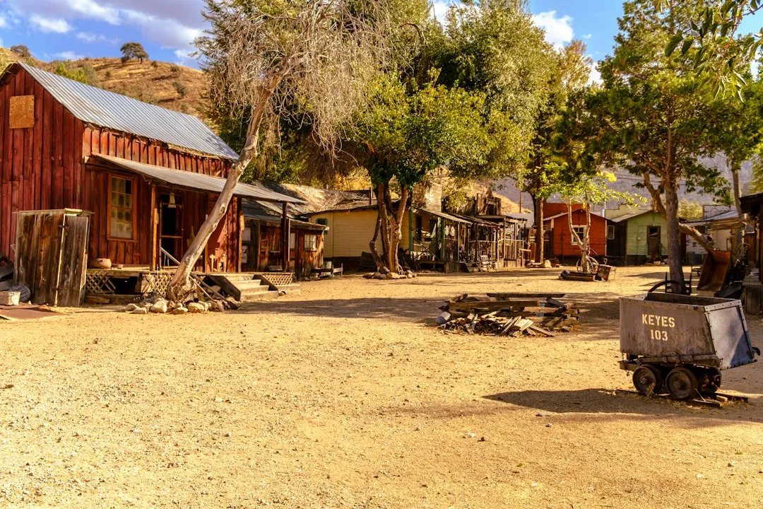
From Fallon the road climbs toward Austin, a near-vertical silver camp clinging to the side of the Toiyabe Range at the midpoint of the drive. Austin hit ten thousand residents at its peak and fell to under two hundred, making it something of a living ghost town at the high middle of US-50.
Once one of Nevada’s most prosperous mining camps, Austin has managed to retain its 19th-century character and is today one of central Nevada’s most popular mountain biking areas and a gateway to the towering Toiyabe Mountains. The town’s population may be small, but its story is outsized. Walking its main street, you get a sense of what ambition and geology can do to a place over a century.
Natural Wonders Along the Desert Corridor
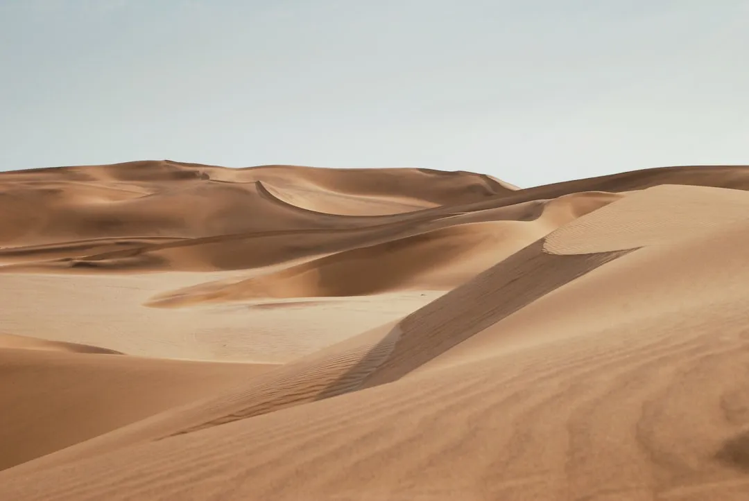
The lonely part begins east of Fallon. Within a few miles the last farms give way to desert, and the first stops appear: the boulder-field rock art of Grimes Point, then the great singing dune of Sand Mountain off to the north. Sand Mountain is Nevada’s largest dune, a 600-foot mountain of singing sand with a buried Pony Express station nearby.
US 50 has a diverse route through the state, traversing the resort communities of Lake Tahoe, the state capital in Carson City, historical sites such as Fort Churchill State Historic Park, petroglyphs, alpine forests, desert valleys, ghost towns, and Great Basin National Park. That range is remarkable for a road so often described as empty. The emptiness, it turns out, is full of things.
Great Basin National Park: The Eastern Anchor
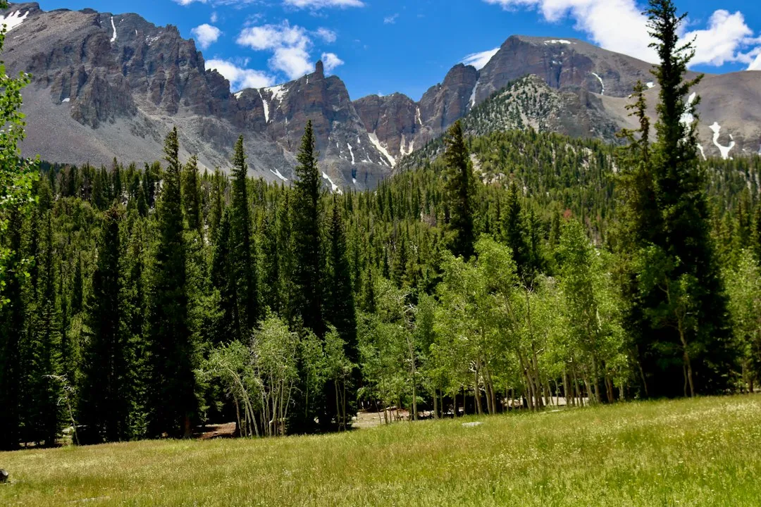
The view from Great Basin National Park is tremendous. The main attractions include the Lehman Caves, Wheeler Peak, and Lexington Arch. Wheeler Peak reaches into the 13,000-foot range. The park sits at the eastern end of the Loneliest Road corridor and represents one of Nevada’s most undervisited natural treasures.
In the Ely area, visitors often enjoy several attractions, such as Ward Charcoal Ovens State Historic Park, Ely Renaissance Village, Success Loop, and the Nevada Northern Railway Museum. Great Basin National Park also contains ancient bristlecone pines, among the oldest living organisms on Earth, some well over four thousand years old. Coming here after hours of open desert road feels like a genuine arrival.
The Survival Guide Passport Tradition
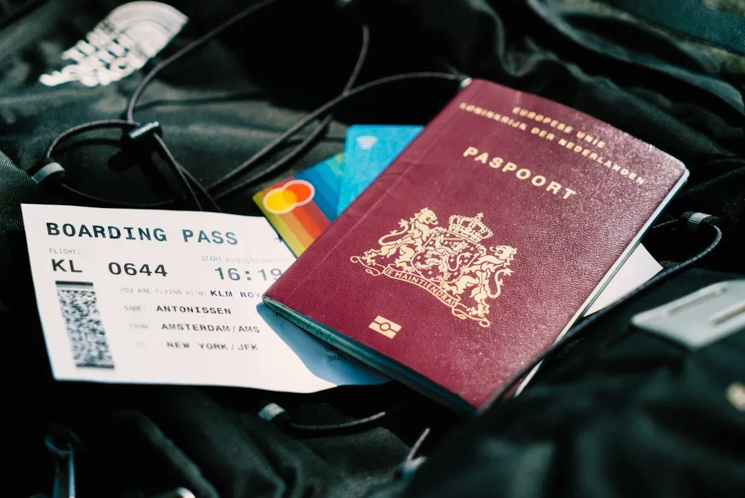
The communities along the desolate route decided not to get mad, they got even and developed a tongue-in-cheek Highway 50 Survival Kit. The kit contained brochures and maps detailing places along the route and a special Highway 50 passport, which travelers can have validated in the five largest communities: Ely, Eureka, Austin, Fallon, and Fernley.
Four decades later, the name has stuck, the state hands out a survival guide you can get stamped along the way, and the joke has quietly become the point: this is a drive you take precisely because it is empty. It’s well worth stopping in the small towns along the way. Collecting your Route 50 Survival Passport and getting it stamped at the towns en route has become a tradition in itself. It’s a low-key but genuinely charming ritual.
Population and the Meaning of Remote
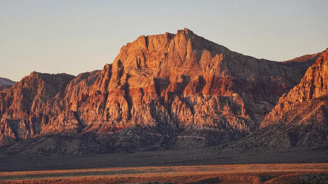
To understand what “lonely” really means here, it helps to look at the numbers. According to census data, Ely has a population of roughly 3,929 people, while Fallon sits at around 9,463, and Eureka is considerably smaller still. These are the major stops. Between them, services thin out quickly.
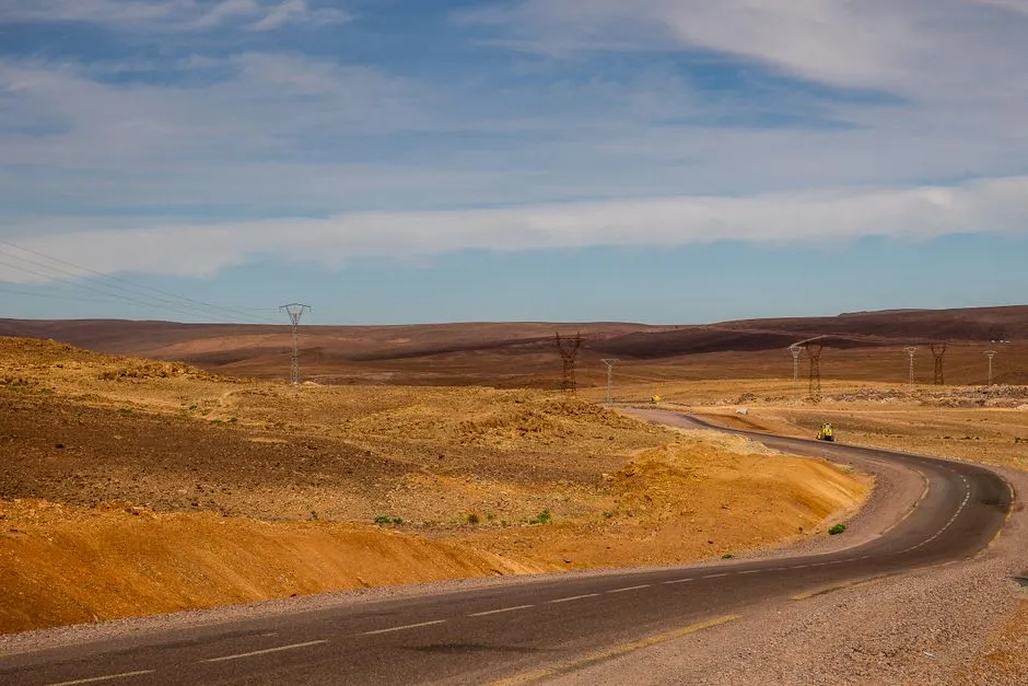
Stretching the width of Nevada, U.S. 50 is a path through places seemingly untouched by man. It’s country where watch-out-for-cattle signs far outnumber pedestrian-crossing warnings. Although the route’s reputation suggests danger and isolation, driving the Nevada stretch of U.S. Route 50 is entirely manageable with basic preparation. The Loneliest Road covers approximately 287 miles across the Great Basin, and most travelers complete it in five to seven hours without extended stops.
Why the Emptiness Is the Attraction
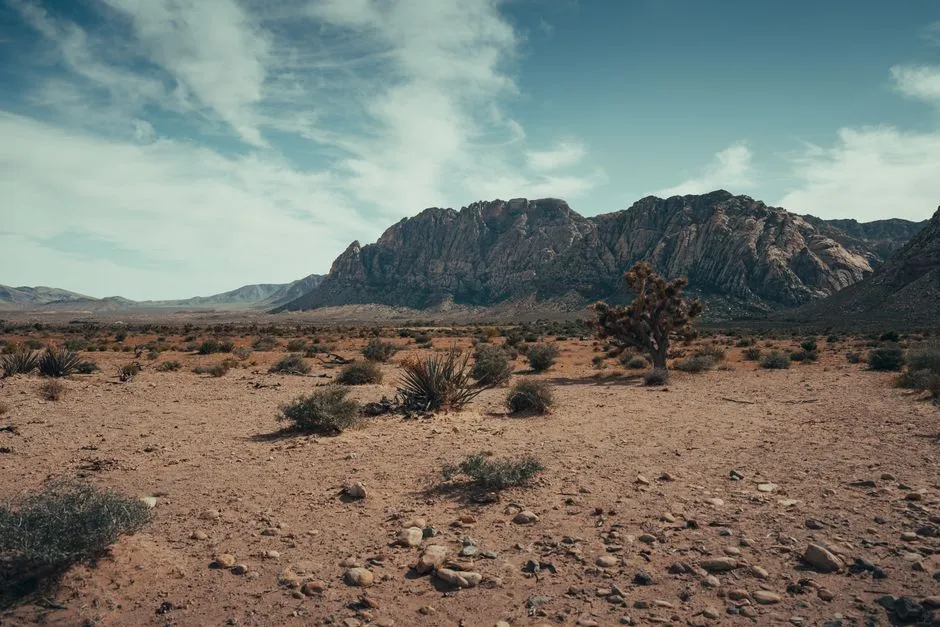
The emptiness is old and earned. US-50 here follows the original line of the Pony Express and the Overland Stage, and later the Lincoln Highway – the first road across the country – and the route has always been about getting through the Great Basin rather than stopping in it. That purpose is baked into the landscape. You feel it in the long silences between towns.
Far from recoiling from the negative connotation, Nevada embraced the title. Tourism officials and local communities turned the phrase into a draw for travelers seeking solitude, wide-open spaces, and an authentic experience of the American West. In a travel culture that often chases crowds, that is not a small thing. The loneliness here is honest, and honestly, that’s part of its lasting appeal.
The Road That Earned Its Name
AI Disclaimer: This article was created with the assistance of AI tools and reviewed by a human editor.